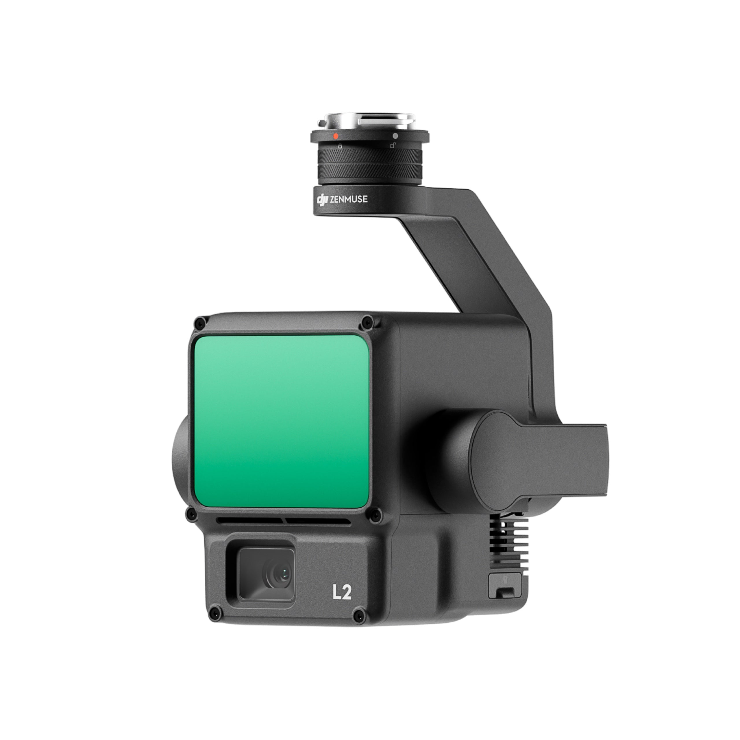
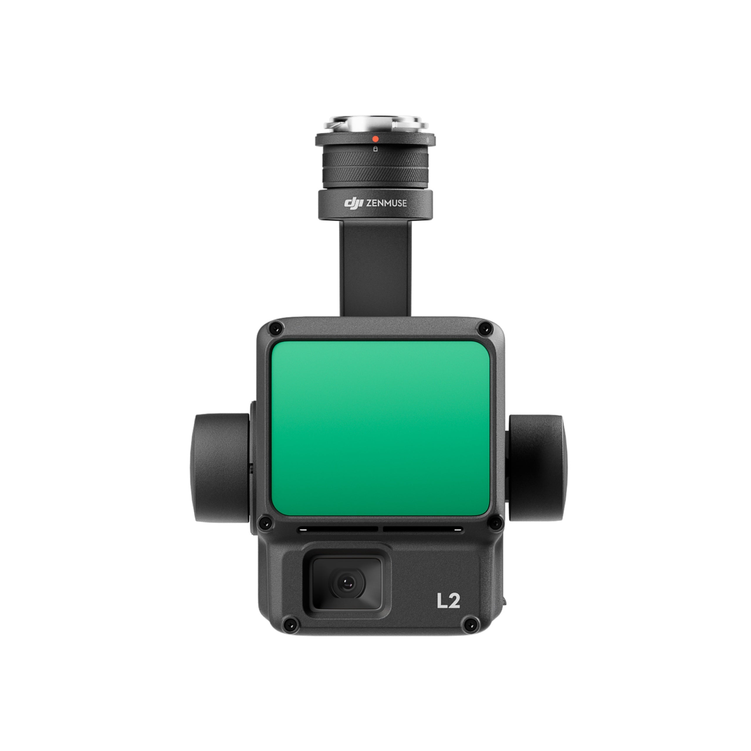
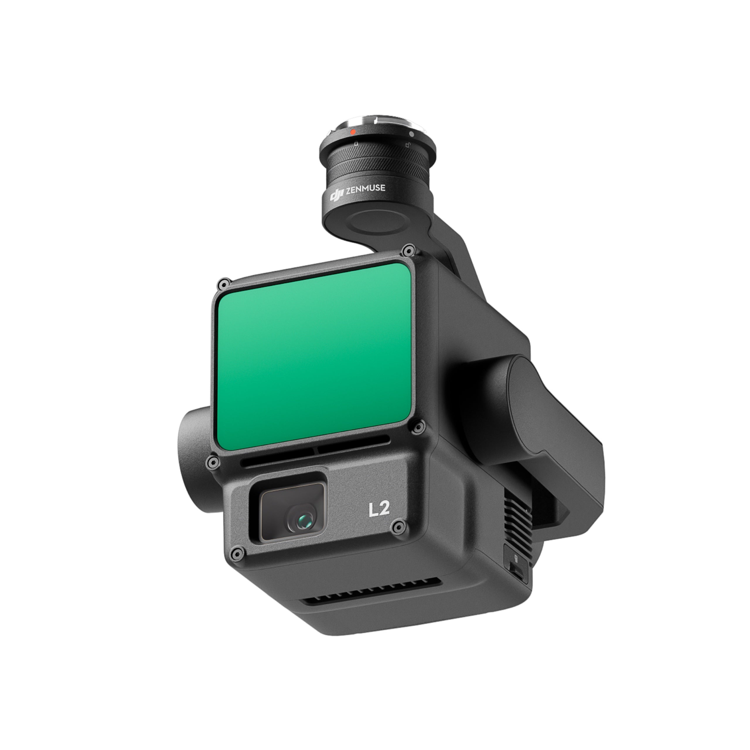
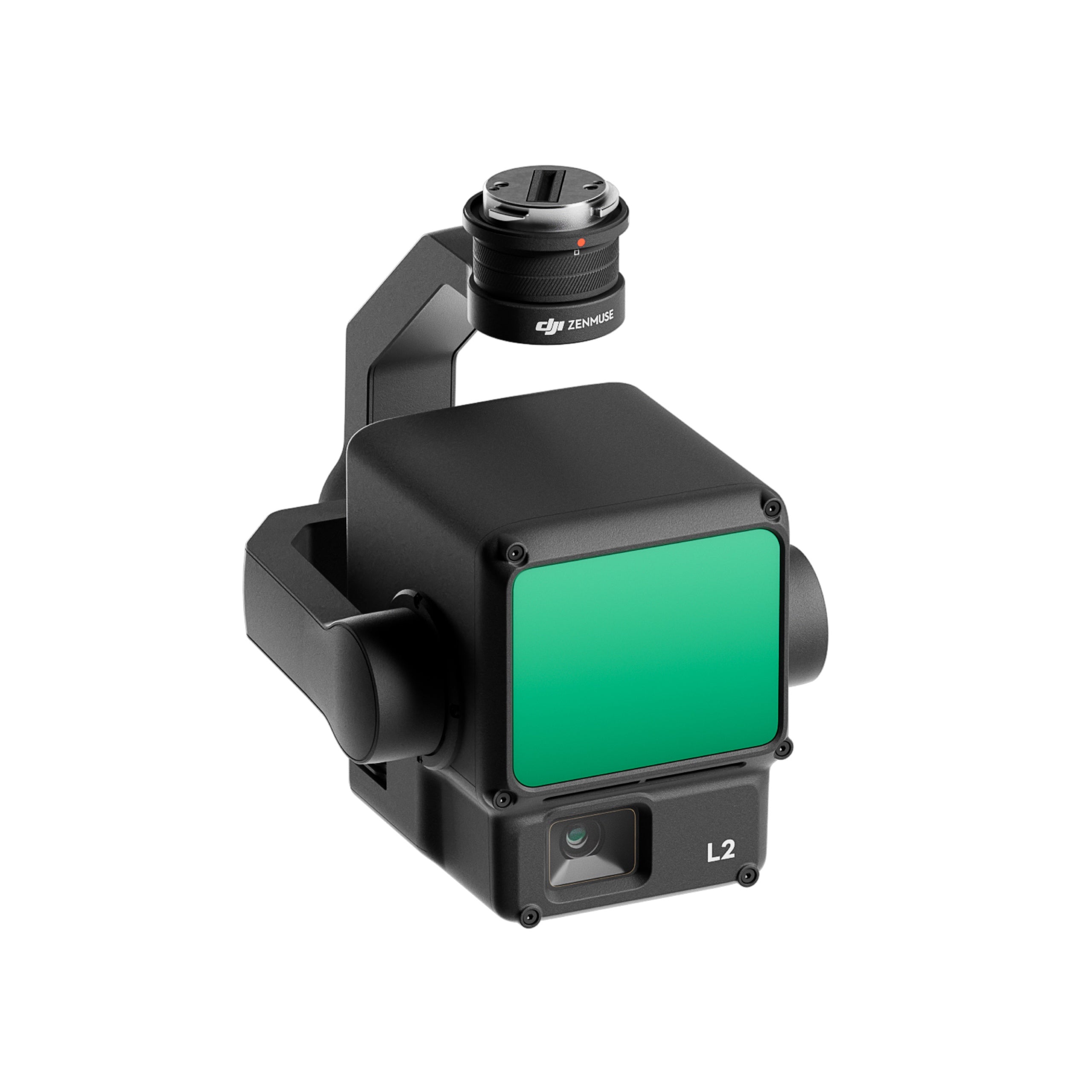
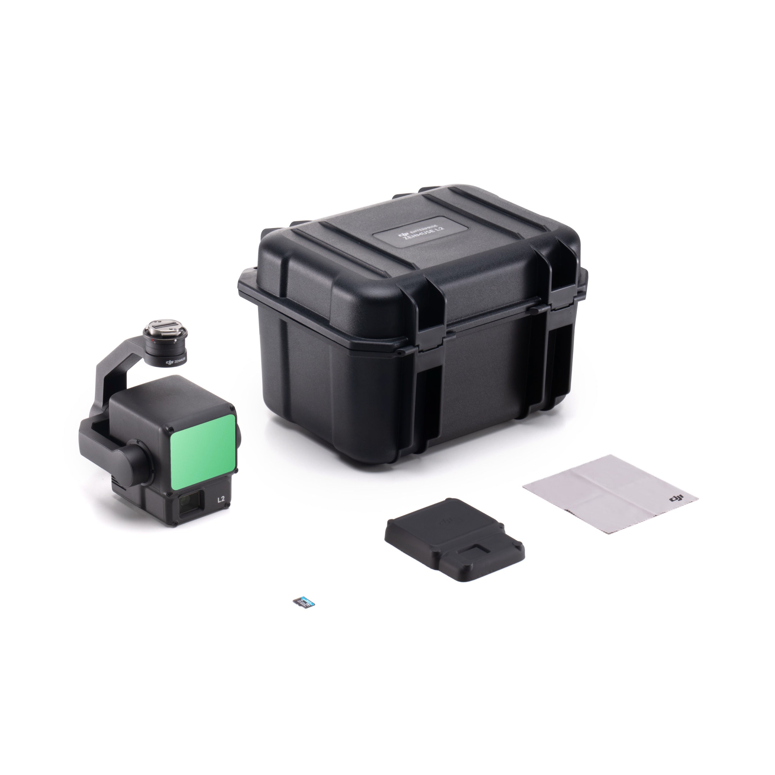
DJI Zenmuse L2 LiDAR Camera
High-precision LiDAR and RGB mapping system for enterprise drones
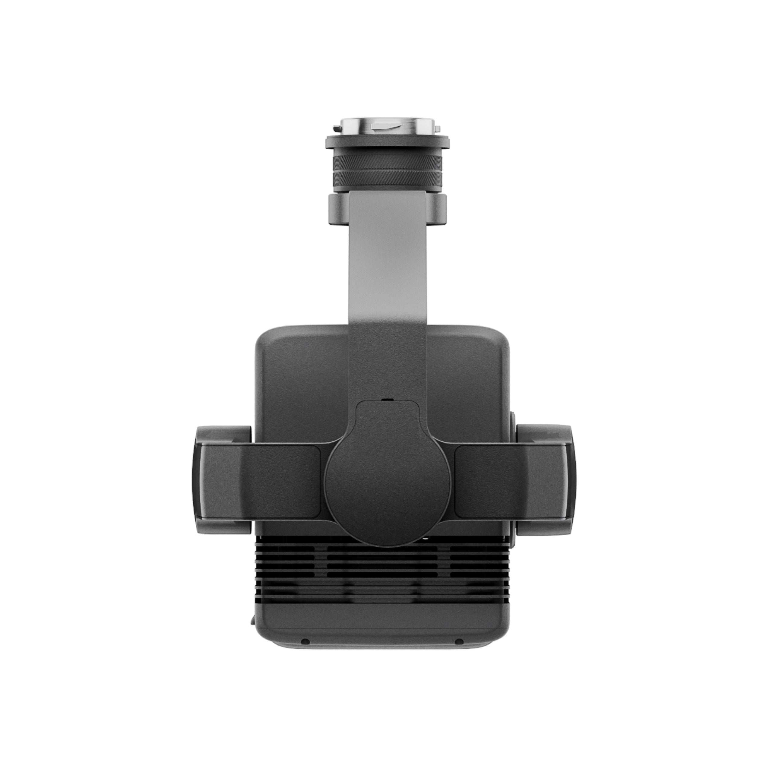
The DJI Zenmuse L2 delivers survey-grade LiDAR and RGB data collection in a single 3-axis gimbal payload.
Combining a frame-based LiDAR module, a 4/3-inch 20 MP CMOS RGB camera, and a high-accuracy IMU, it captures dense point clouds and detailed imagery for mapping, inspection, and geospatial analysis.
Compact, efficient, and IP54-rated, the L2 is built for professionals who need accurate aerial data with minimal setup time.
System highlights
- Integrated LiDAR, 4/3″ RGB camera, and high-accuracy IMU in one payload.
- Captures 240,000 points per second with 4 cm vertical accuracy.
- Smaller 1.6 × 4.7 in laser spot for denser point cloud mapping.
- Detection range up to 450 m; supports five returns per pulse.
- Covers 2.5 km² per flight at 120 m altitude.
- 20 MP RGB camera adds true color to LiDAR data.
- Instant start-up with no warm-up required.
- IP54 rating and 905 g lightweight construction for field use.
- Compatible with DJI Pilot 2 and DJI Terra software.
High-accuracy data collection made simple
Capturing 240,000 points per second, the L2 achieves vertical accuracy of 4 cm and horizontal accuracy of 5 cm at 150 m altitude. A reduced laser spot size (1.6 × 4.7 in) improves penetration through vegetation and enhances detail in dense terrain.
With a detection range of up to 450 m and support for five returns, the L2 covers up to 2.5 km² in a single flight. No warm-up is required, ensuring faster deployment and operational efficiency.
Professional imaging and workflow integration
The integrated 20 MP RGB mapping camera captures true-color imagery and applies it directly to LiDAR point clouds. Its fast 0.7-second photo interval and 3.3 µm pixel size deliver crisp detail even in low light.
Used with DJI Pilot 2 and DJI Terra, the L2 provides real-time point-cloud visualization, automated task quality reports, and one-click post-processing for 3D modeling and DEM generation. DJI Care Enterprise is not included with this product.
Platform and workflow integration
- Compatible with DJI Matrice 300, DJI Matrice 350 and Matrice 400 RTK aircraft.
- Mounts via DJI SkyPort V2 or E-Port interfaces.
- Integrates with DJI Pilot 2 for mission planning and live point-cloud view.
- Seamless DJI Terra workflow for DEM creation and accuracy checks.
- Supports waypoint, area, and linear flight route types.
- Real-time coloring modes include reflectivity, height, and distance.
Professional applications
- Land surveying and mapping with high point density and precision.
- Forestry management and vegetation penetration studies.
- Electrical and power line inspection with multi-return LiDAR.
- Construction progress tracking and as-built modelling.
- Mining and stockpile volumetrics for resource management.
- Environmental and infrastructure monitoring.
Built for professional operations
The Zenmuse L2 combines accuracy, range, and ease of use in a rugged design. With its precise IMU, advanced LiDAR module, and RGB integration, it delivers unmatched data quality for complex field missions.
Operators can preview, merge, and validate point-cloud models directly in the field, reducing rework and downtime. Reliable and efficient, the L2 transforms DJI Matrice series drones into full-scale mapping systems.
Available now from DSLRPros. Purchase today to equip your fleet with enterprise-grade aerial mapping precision.